River restoration
2026
Identifying and Prioritising Barriers on the Radika Catchment
About 142 km of the Radika river network mapped with Mavrovo National Park, and an analysis that ranks the barriers to remove.
Photos
In numbers
River network mapped in the Radika catchment
142 km
Tributaries surveyed: the Mavrovska, Ribnička and Mala Reka
3
About the project
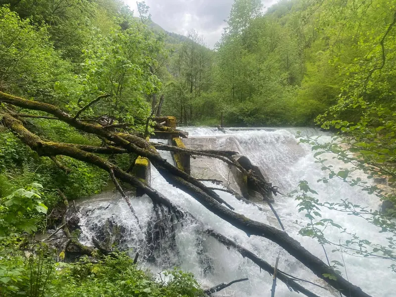
The Radika and its tributaries in Mavrovo National Park are broken up by barriers that stop the river from flowing freely. The European Open Rivers Programme funds work that finds these barriers and ranks which ones to remove. Its listing for this project expects one or two barriers to be chosen, which could reopen 15–20 km of river.
What happened
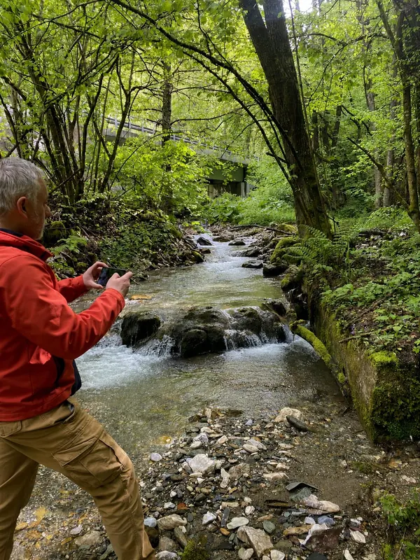
Field mapping of river barriers in Mavrovo National Park, May to July 2026
A published analysis of the barriers, with a GIS overview and a priority ranking
Planned next: choose one or two barriers to remove
More projects
All projects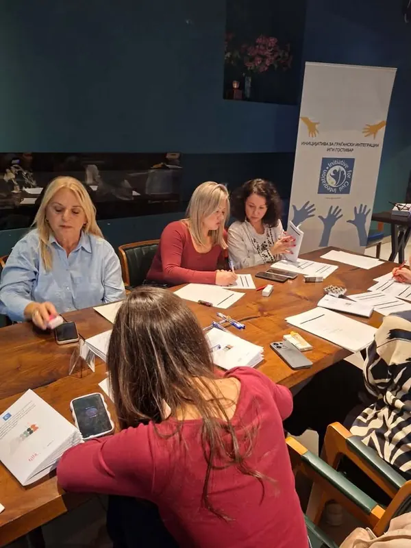
Women of Gostivar for dignified health care
- Focus area
- Women’s rights
- Dates
- 2026
- Funded by
- Akcija Zdruzenska, supported by filia
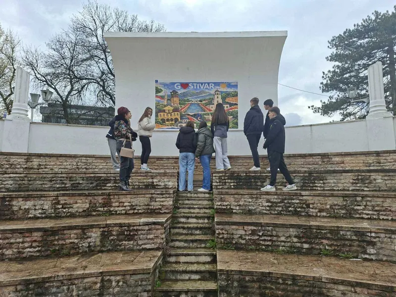
Gostivar Through Our Eyes
- Focus area
- Coexistence
- Dates
- Sep 2025 – May 2026
- Funded by
- Government of Switzerland, with Heartefact
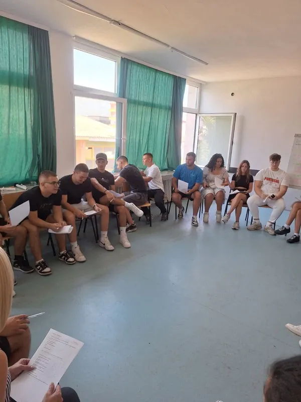
Common Ground Lab
- Focus area
- Coexistence
- Dates
- Aug – Oct 2026
- Funded by
- European Fund for the Balkans, Common Ground Programme
Work with us in Gostivar
Young people aged 15–29 can apply for trainings and exchanges. Schools, NGOs and municipalities can propose a project with us.